About me
My name is Rik Ferreira Alves and I’m undergraduate in Geography at Universidade Estadual de Montes Claros (UNIMONTES). I’m a researcher at Regional and Rural Research Center (NEPRA) contributing to the development of the Basic Sanitation Atlas of Minas Gerais.
My works are related to digital representation of geographical phenomena, using FOSS geotechnologies and statistics in order to solve problems in Urban Geography, Economic Geography and Demography.
Interests
- Urban Geography
- Spatial Data Science
- Demography
Education
Undergraduate in Geography, 2021
Universidade Estadual de Montes Claros
Technical skills
R
Python
QGIS
Publications

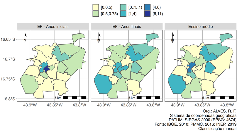
Spatial analysis of the public primary and secondary education access in Montes Claros/MG
Montes Claros is an intermediate city located in Minas Gerais whom walked through an intense process of expansion after the 1970s. In the last 50 years, factors such as its consolidation as a regional center and the intensification of the real estate market contributed to a fast and unequal spread of its urban space. In this regard, this paper has the objective of measure the distribution of the public schools in the city of Montes Claros as well as the demand for this service. Therefore, this study works with the hypothesis that the offer of the public schooling service becomes more insufficient as it move away from the town center. This reserach relied on quantitative methods for the data extraction and transformation of the aggregated variables to the urban planning region, and worked with secondary fonts for the contextualization of the results, which demonstrate the high concentration of schools in a few regions that polarizes the rest.


